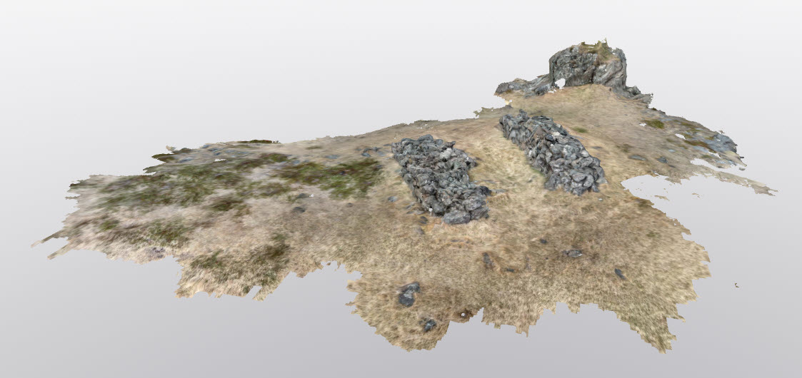
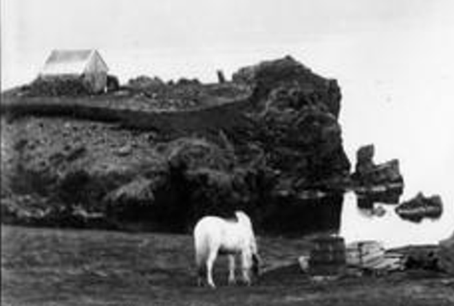
„The building known as ‘hjalli’ is about 230 meters southeast of the farm center 001 and about 160 meters northeast of the Weywadt residence from 1880. The fish shed is on a solid rock outcrop, and a large part of the gravel between the outcrop and the mainland was eroded in a storm in the 6th decade of the 20th century. There are old photographs of the fish shed at Sarpi (cultural-historical archive).
The fish shed is on a green, solid rock outcrop with steep slopes but relatively flat terrain on top. The homestead is 7×6 meters in size, facing north-south. It consists of two rock walls with parallel walls, and there is a 3-meter gap between them. The wall constructions are quite distinctive, especially the western wall. The eastern wall is about 120 cm in height (showing 8 graves), while the western wall is about 90 cm in height (4-5 graves). The wall constructions are made of rather large rocks.
Between the walls, one can distinguish a stone layer, possibly indicating a boundary or a division on the fish shed. On old photographs of the fish shed, the surroundings show evidence of a yard. Signs of this yard have largely disappeared, but there are still traces of overgrown vegetation west and south of the shed that may be remnants of this yard. There is even evidence of such stone layers east of the shed. Danger warning: Risk of collapse due to erosion
Sources:
Fornleifaskráning í landi Teigarhorns SM-239:030